This article is also available in Romanian.
Click on the small arrow from the map (top left corner) to expand the map legend and visualize all the attractions mentioned in this article.
View this post on Instagram
Last fall we spent a weekend in the Swiss Alps. Because the Netherlands has no mountains, we take advantage of every long weekend to go to the neighboring countries where we can enjoy the mountain scenery. In October, after checking the weather forecast for Switzerland, we decided to spend a weekend there, without too much preparation in advance.
If you had asked me a few years ago where I see myself living in the future, I would have answered Switzerland without hesitation. Once because it is a politically neutral country, and then because it has elegance and wonderful landscapes. Currently I am living in the Netherlands. This country doesn’t dislike me, although I would never have seen myself living here. I didn’t even want to visit Holland. But, its flat land and unpredictable weather are the reasons why the Netherlands is not in the top position of our preferences.
As for Switzerland, this small country offers so many possibilities for spending your free time. So far, we have visited it in all seasons except winter. Prices are pretty high for accommodation and food, but you can make compromises. We avoid staying in very touristy areas, we never choose hotels, but we stay at the locals (Airbnb), and if it is nice weather, we prefer to camp.
In that late weekend of October, we visited 2 neighboring areas famous among tourists: Grindelwald (DAY 1) and Lauterbrunnen (DAY 2).
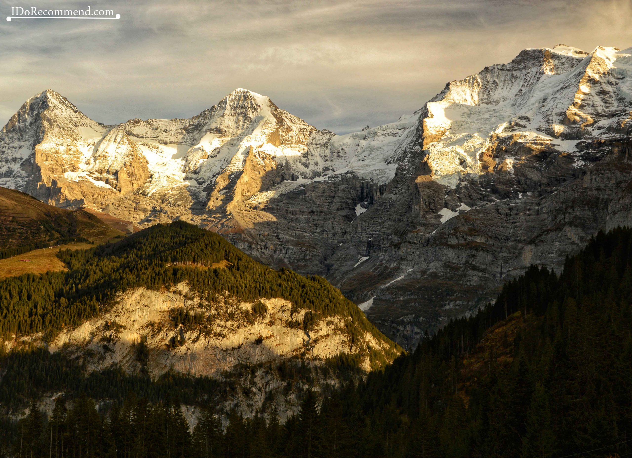
These areas are located in the canton of Bern, in the region called Upper Bern (Berner Oberland) and very close to the famous Interlaken resort and the famous mountain peaks, Eiger (“ogre”, 3,967m/13,015 ft), Mönch (“monk”, 4,107m/13,474 ft) and Jungfrau (“maiden, virgin”, 4,158m/13,642 ft). In October we had a wonderful weather with temperatures up to 17°C/62°F. The host told us that it was going to be the last warm weekend of that season, before the snow started.
Swiss Travel Pass is a travel permit that offers unlimited access to the Swiss transport network. It is valid for 3, 4, 8 or 15 days and allows free admission to over 480 museums and exhibitions. The price may seem high (a card available 3 days costs 221€), but in the end it will be much cheaper than if you buy tickets separately.
LOCATION
Grindelwald and Lauterbrunnen, Berner Oberland, Switzerland.
DURATION & MONTH
2 days in October.
ACCOMMODATION
Wilderswil village (Airbnb).
DAY 1
Grindelwald village (1,034m/3,392ft) – Bort hut/cable car station (1,564m/5,131ft) – First cable car station (2,171m/7,122ft) – Bachalpsee Lake (2,265m/7,431ft) – back to Grindelwald village
- Grindelwald
- Paragliding in Grindelwald
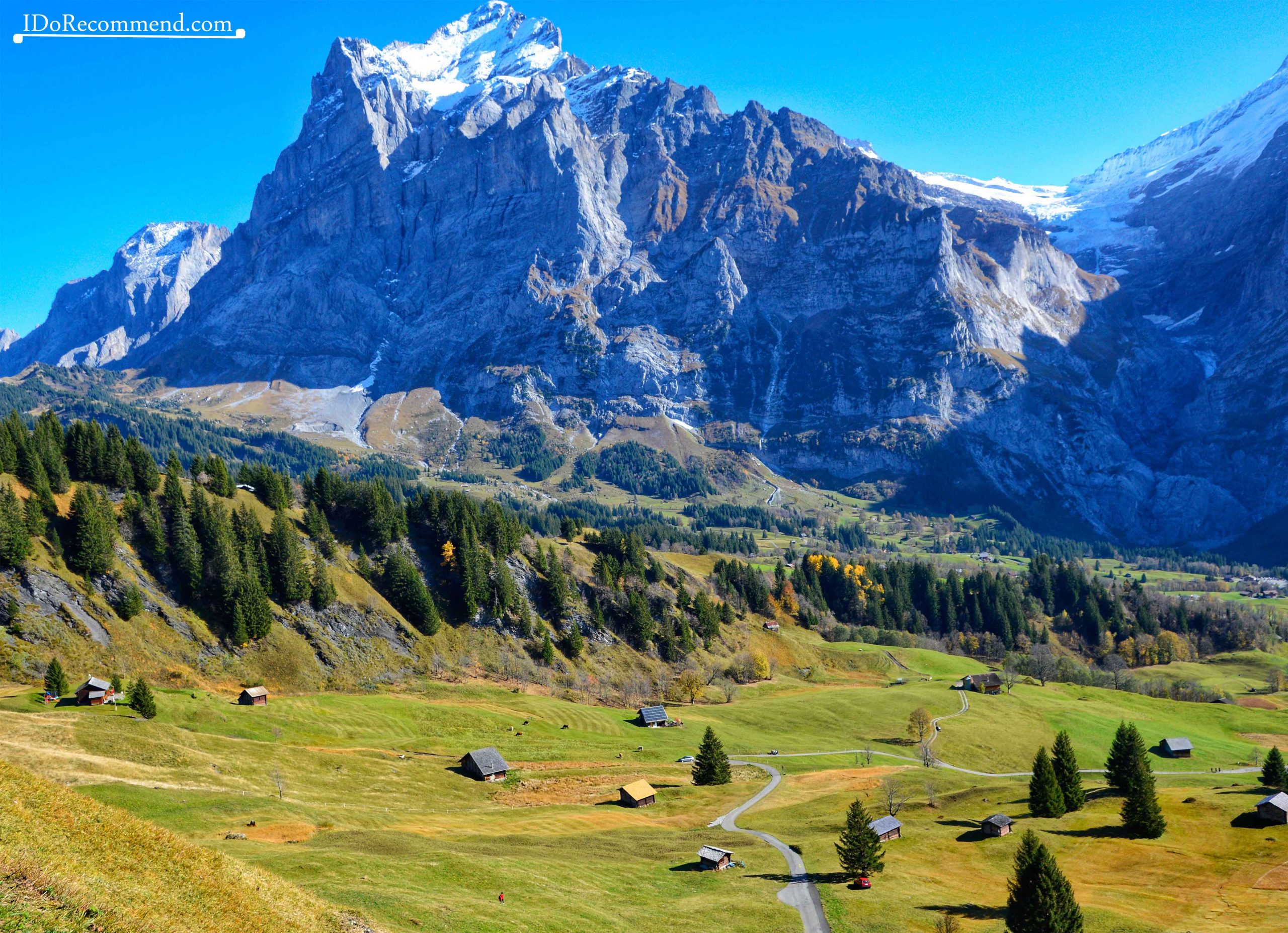
On the first day we chose to visit the Grindelwald area. From the Wilderswil village where we stayed overnight until Grindelwald we drove 17km/10miles. We wanted to park at Pfingstegg, but at 12 noon there was no free space, so we headed to Parking Eiger+. There we paid 25CHF/23€ for one day parking. Then we set off on the route that led to the most beautiful alpine lake I have seen so far in Switzerland, Bachalpsee.
- Trekking to Bachalpsee
There are several options to go to Bachalpsee:
- go trekking
Grindelwald – Bort ⇒ 4.5 km (2h)
Bort – First ⇒ 3 km (2h)
First – Bachalpsee Lake ⇒ 2.9km (1h)
- by gondola & trekking
Grindelwald – First ⇒ by gondola
First – Bachalpsee Lake ⇒ trekking – 2.9km (1h) (gravel road suitable for families with small children and strollers)
- by mountain bike
Grindelwald – Bachalpsee Lake ⇒ via Eiger Ultra Trail – 10km (2h)
Grindelwald – Bachalpsee Lake ⇒ via road 61 and Eiger Ultra Trail – 18km (2h30)
- by bus & mountain bike
Grindelwald – Grosse Scheidegg ⇒ by bus
Grosse Scheidegg – Bachalpsee Lake ⇒ 9.7km (1h15)
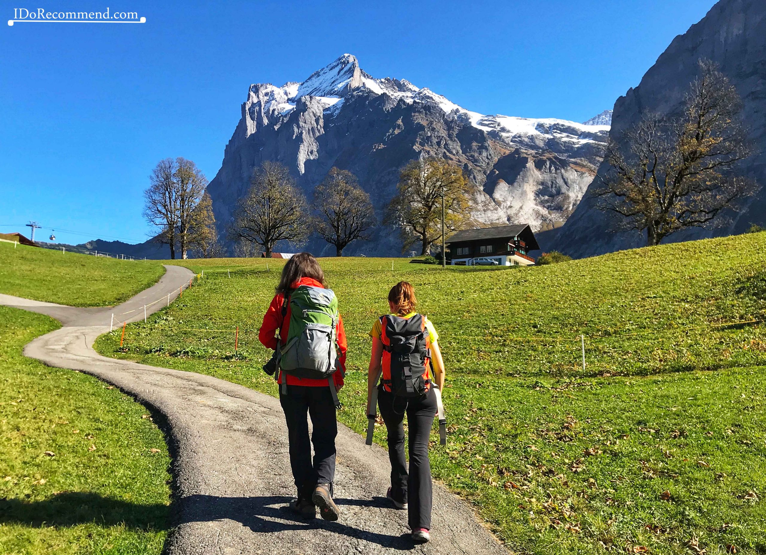
We chose the first option, a hike passing by Bort and First. From the beginning we were not interested in going by cable car from Grindelwald to First, and later, when we saw the price (64CHF/58€), we did not regret we chose the trekking option. During the hiking we stopped several times to have a snack (a fruit salad, some nuts bars and a chocolate). Throughout the route we met many hikers, most of them descending because it was already past noon.
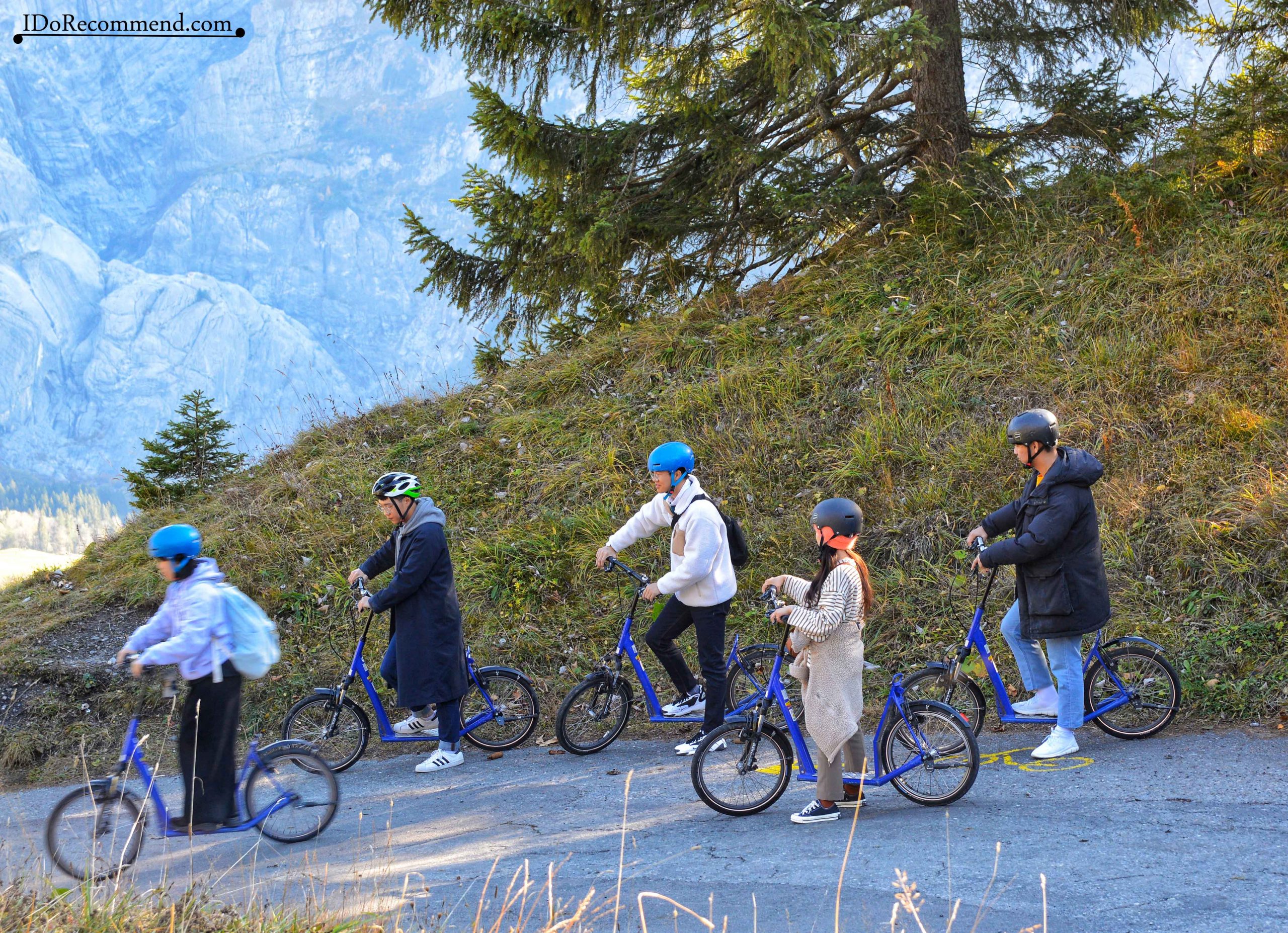
When we reached the first main stop, Bort, I was surprised to find such a hectic atmosphere. The children were at the playground near the gondola station, a group of Asians were going down the hills by trottibike scooters, others were sitting on the terrace and enjoying the sun quite strong for that period. Speaking of trottibike scooter, to me it was the most dangerous thing seen that day, too unstable for those steep slopes. I even saw a tourist falling off the trottibike. She only broke her trousers, but she could have broken her hands or feet.
- TROTTIBIKE SCOOTERS – I don’t recommend them!
We didn’t spend too much time at Bort because it was already late. The trekking to the lake is easy, with only some slightly steep road portions. After about 3h we finally reached Bachalpsee.
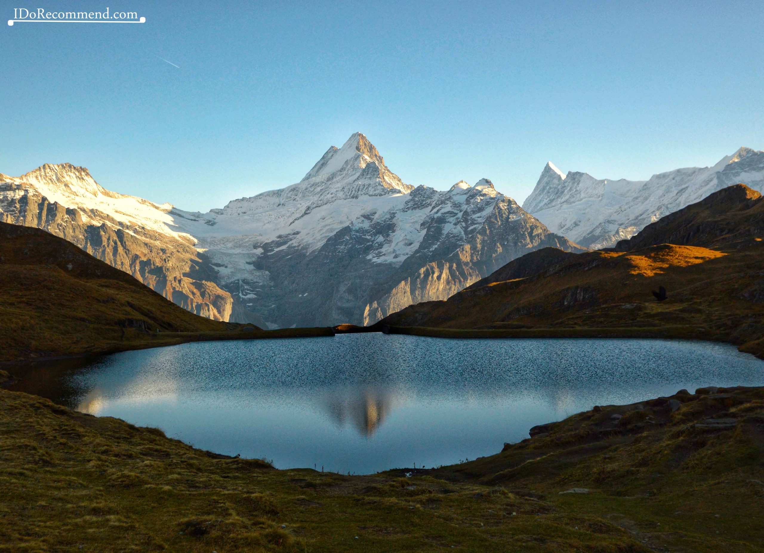
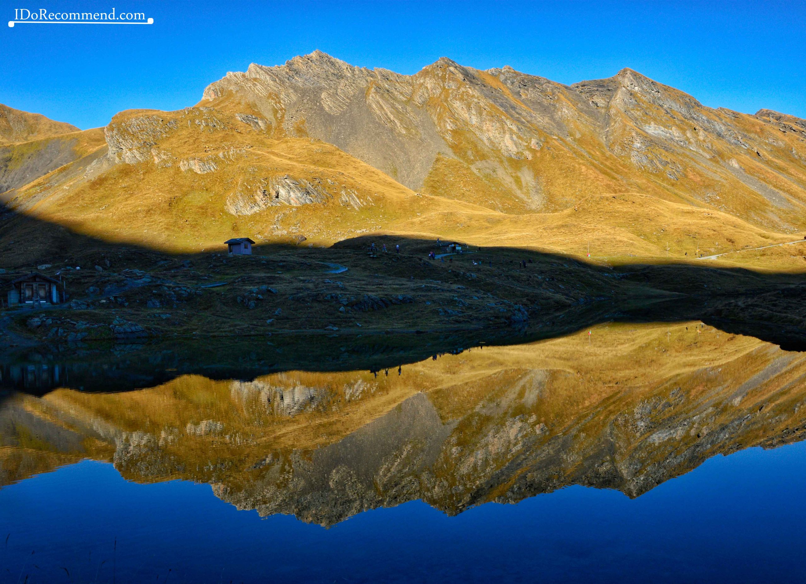
- Mountains mirrored in Bachalpsee
- Mountains mirrored in Bachalpsee
Being almost sunset (4:30 pm), the lake was in the shadow of the neighboring mountain. This made its water surface resembling a mirror. The sharp ridges of the nearby mountains were reflected in the calm water. Everything seemed like torn from the pages of a magazine. I didn’t expect to find such a beautiful place. So far, I can call Bachalpsee Lake the most beautiful alpine lake I have seen so far in Switzerland. Maybe it’s all due to the silence reigning in the area.
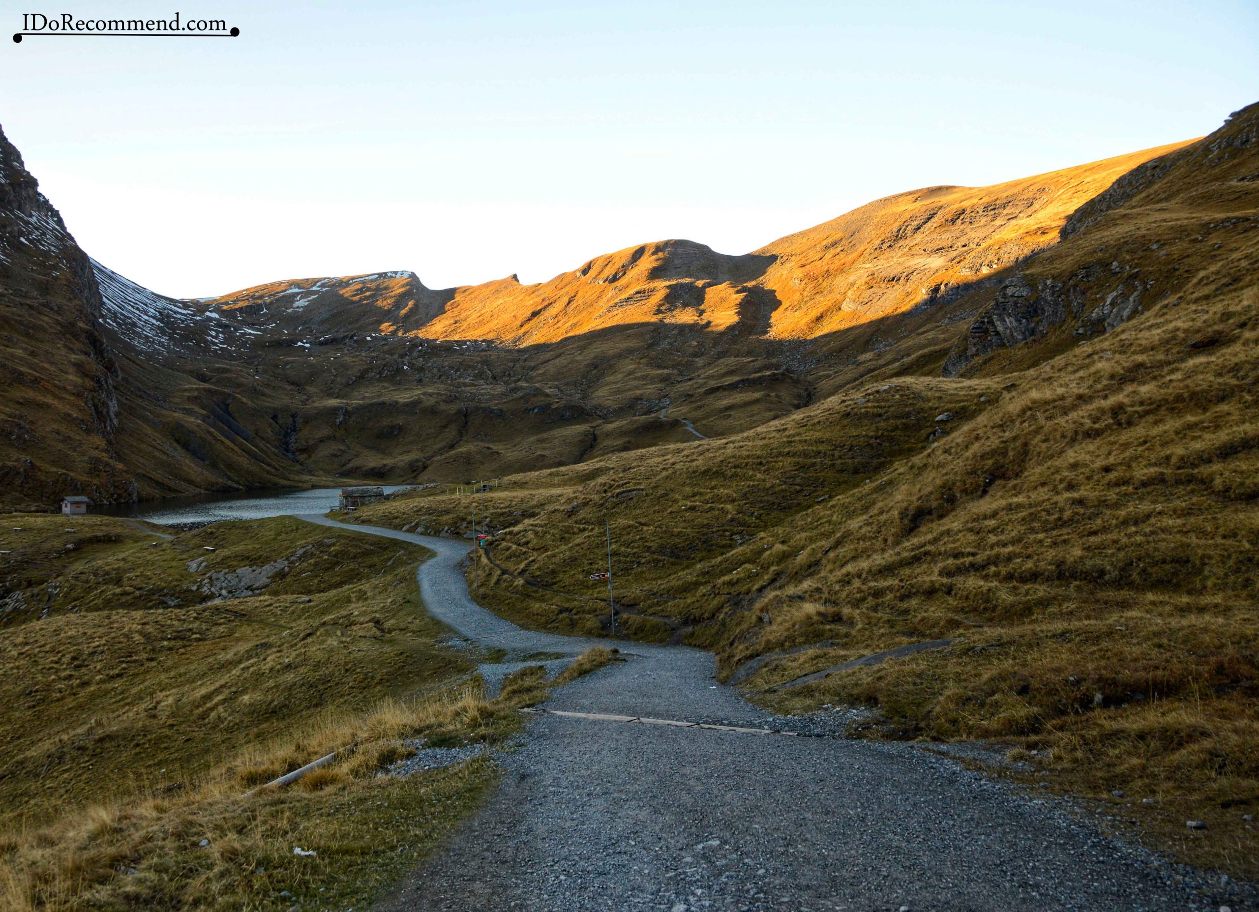
- The path that goes from Bachalpsee to First
- The landscape from Bachalpsee
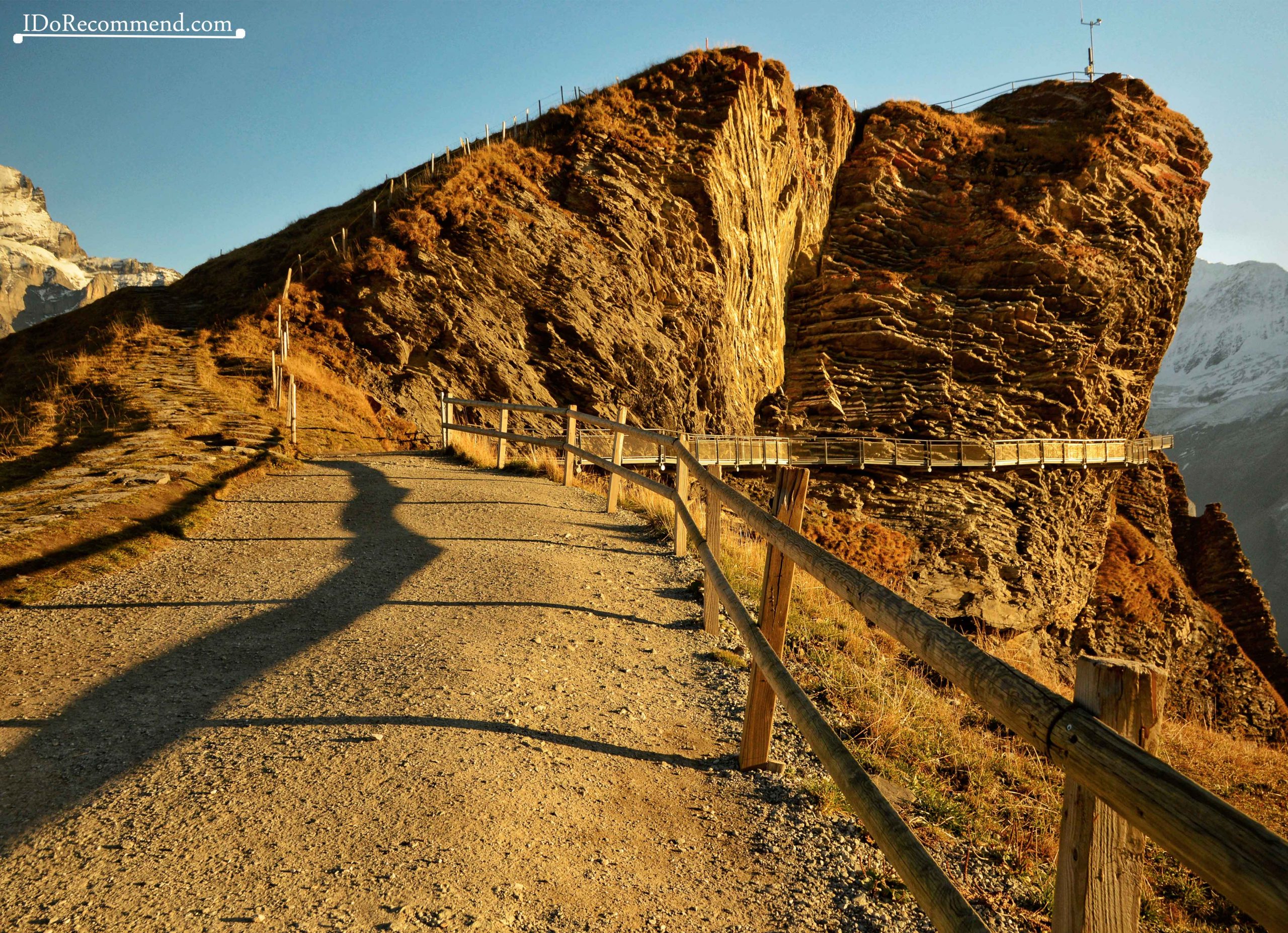
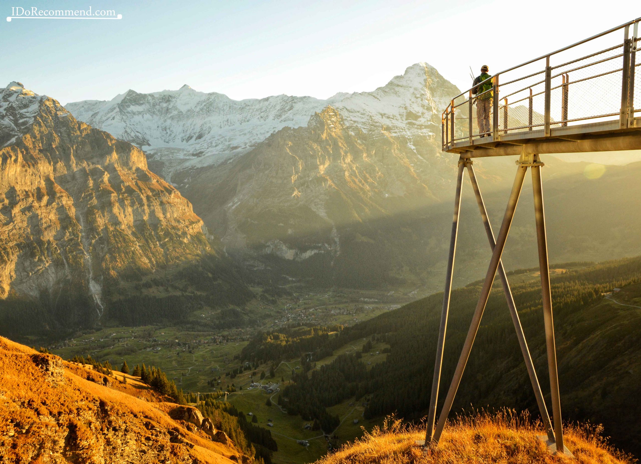
If up to that point, the strong sun allowed us to not wear the jackets, but only a t-shirt, at the lake, in the shade, the temperature had dropped drastically, so we couldn’t spend much time taking pictures because it was cold. In addition, we wanted to catch the last cable car from First (at 5pm) to get down to eat as soon as possible. The chances to catch the gondola were extremely low because we had less than half an hour left. But we had hopes. I decided to go in front in a running pace. From the distance I saw that the cable car till going though it was 5pm, so I hurried. Arriving at the cable car, I explained to the cable car operator what the situation was, and he kindly let us take the cable car down. So I quickly returned on the trail to tell the others to come faster. On that occasion, I went over the First Cliff Walk platform which has a terrace that rises 45m/147ft out into the void, offering a view into the beautiful valley. I was sorry I didn’t get to spend more time there, but I didn’t want to miss the cable car.
- First Cliff Walk
- First Cliff Walk
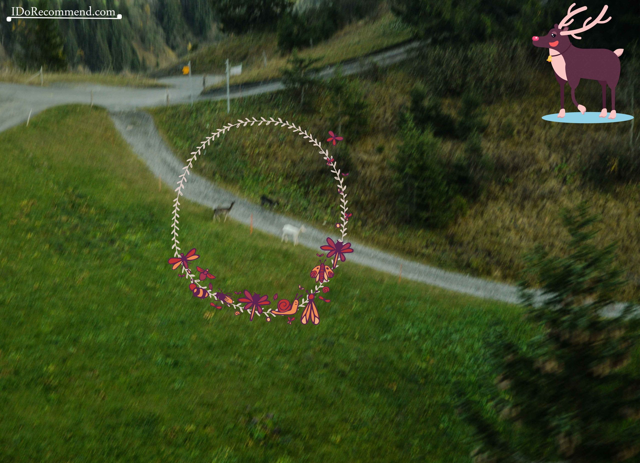
We were the last ones to go down by cable car that day. From the gondola we didn’t see any people on the trail, but a few deer that had the courage to get out of the forest. They were on the same path on which we had been few hours ago. The big surprise was that one of them was a WHITE DEER. I cannot describe the joy I felt seeing it. With the exception of the white, red-eyed hamster I had in childhood, Blinky Bill, I had never seen an albino animal. I wanted the gondola to go as slow as possible so I could get a picture of the deer. I tried as much as possible to take a good picture, but I didn’t succeeded it. 🙂
Albinism is a congenital condition defined by the absence of pigment, resulting in an all-white appearance and pink eyes. Many plant and animal species exhibit albinism (including humans). They have poor eyesight and are conspicuous, making them easy prey. Instead, most white deer exhibit a condition commonly known as leucism, a recessive genetic trait found in about one percent of all white-tails. Leucistic animals lack pigment over all or part of their bodies.
After descending from the mountain, we had dinner at Luna Piccante restaurant.
Other activities in the Grindelwald area
- First/Bort
Check this website to see other activities you can enjoy at First / Bort, most of which are available from March to October (for example flying with a bird of prey at up to 83km/h ≅ 51miles/h or travelling down the mountain with a cart).
- Gletscherschlucht
Another interesting spot near Grindelwald is Gletscherschlucht, a masterpiece of nature. A glacier carved its way through the rock over time. The adventurous tourists can do bungee-jumping in the canyon.
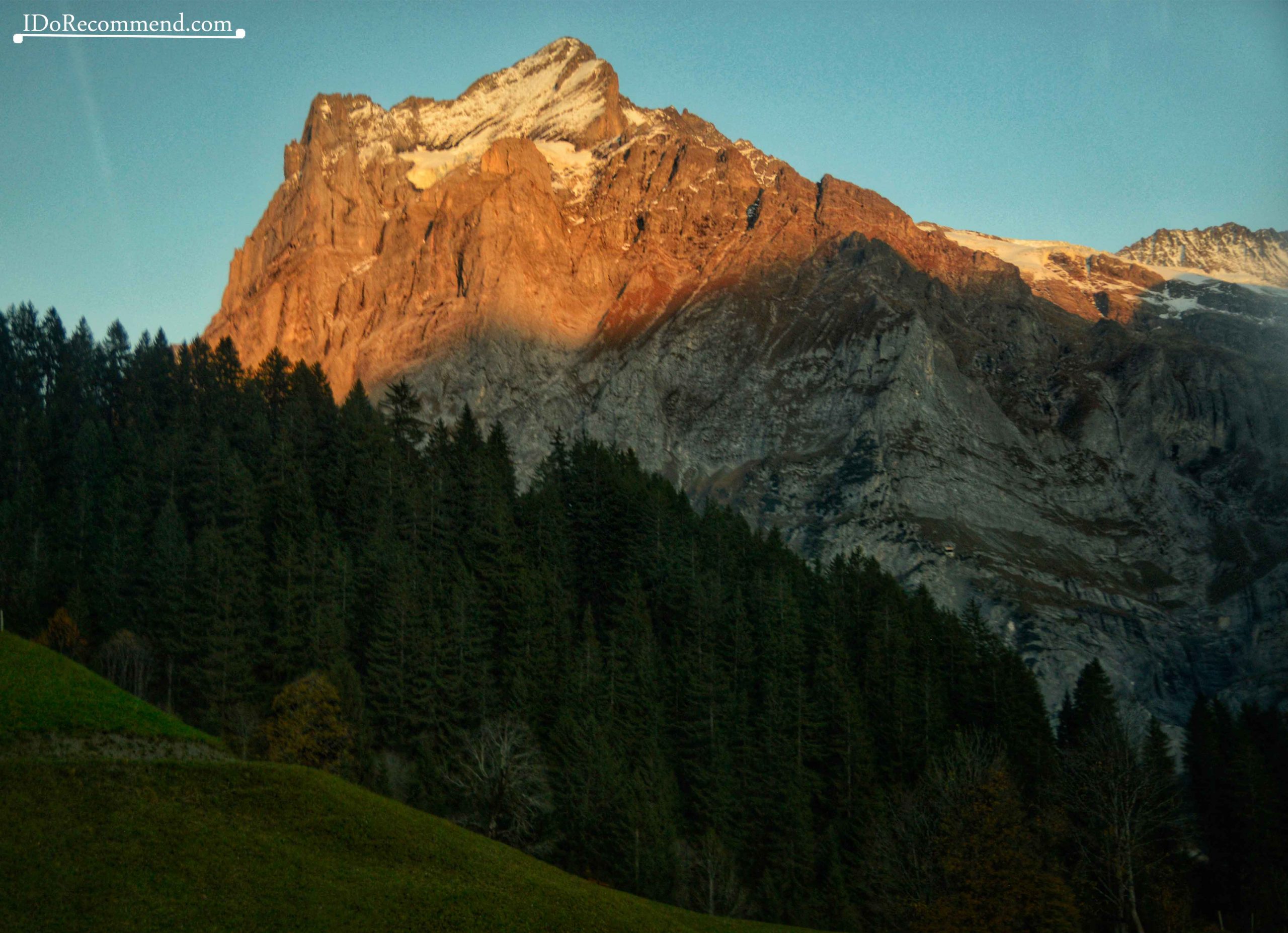
 Grindelwald
- Grindelwald
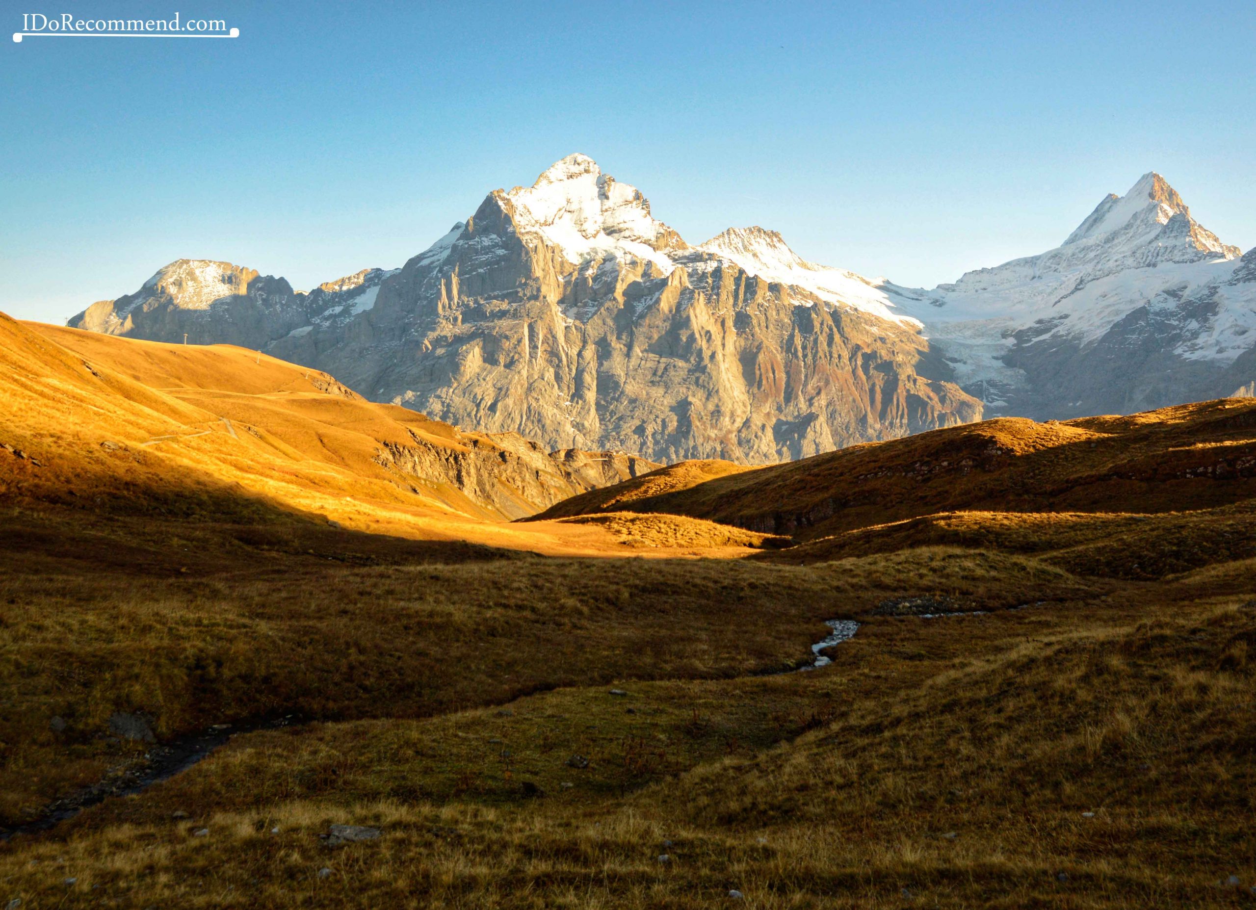
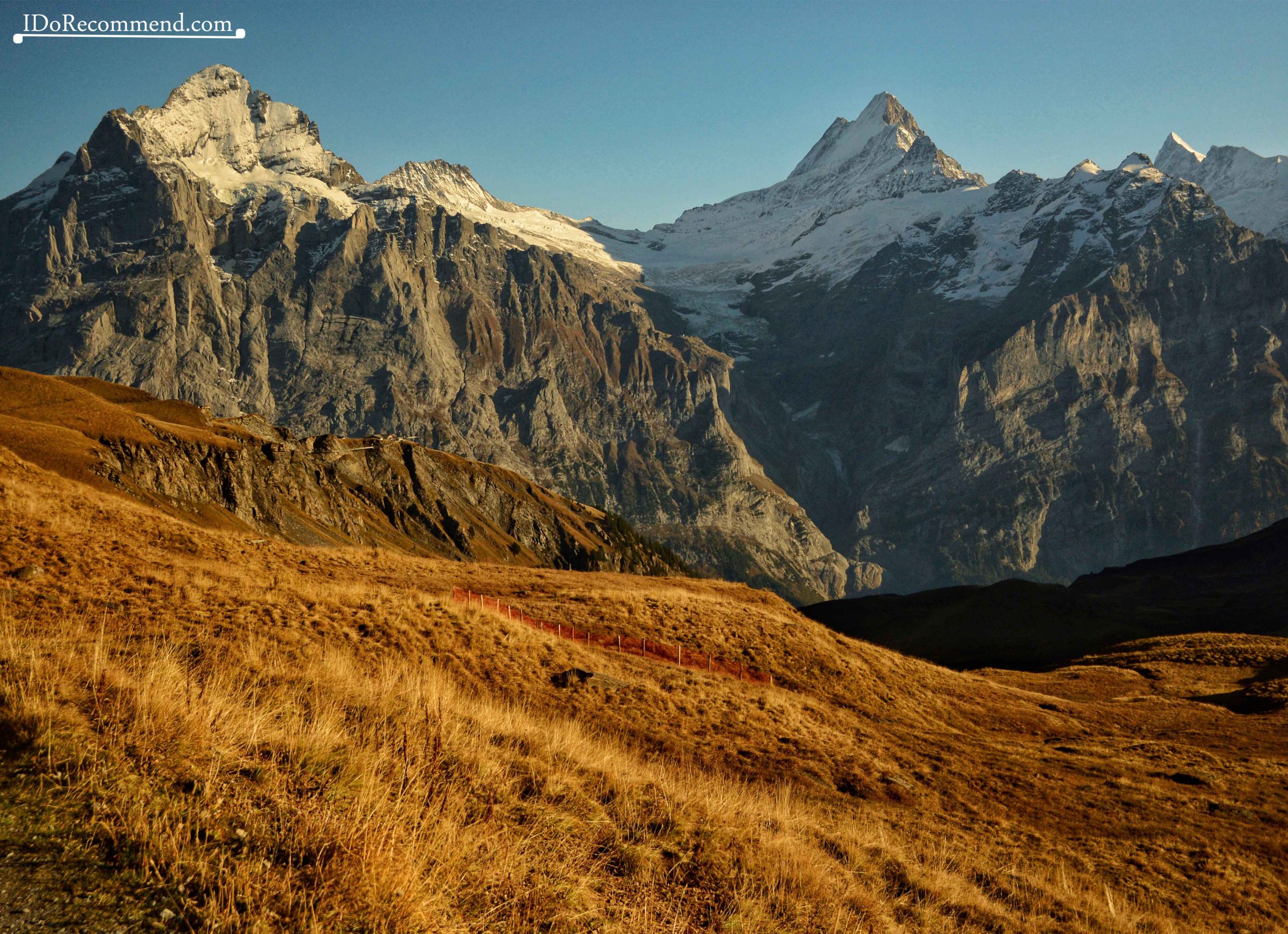
- Mountains seen from Bachalpsee
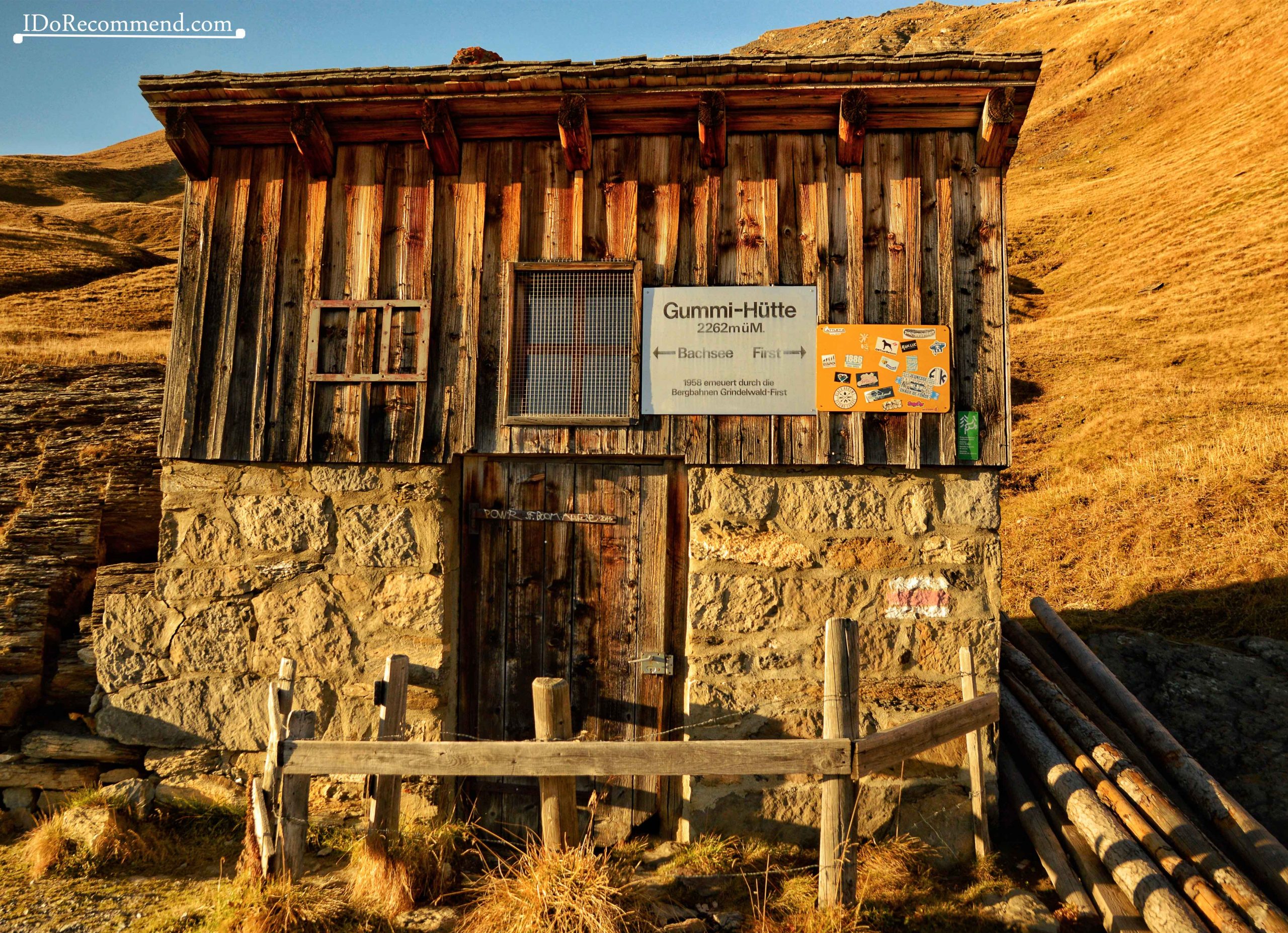
- Hut near Bachalpsee
- View from First cable car
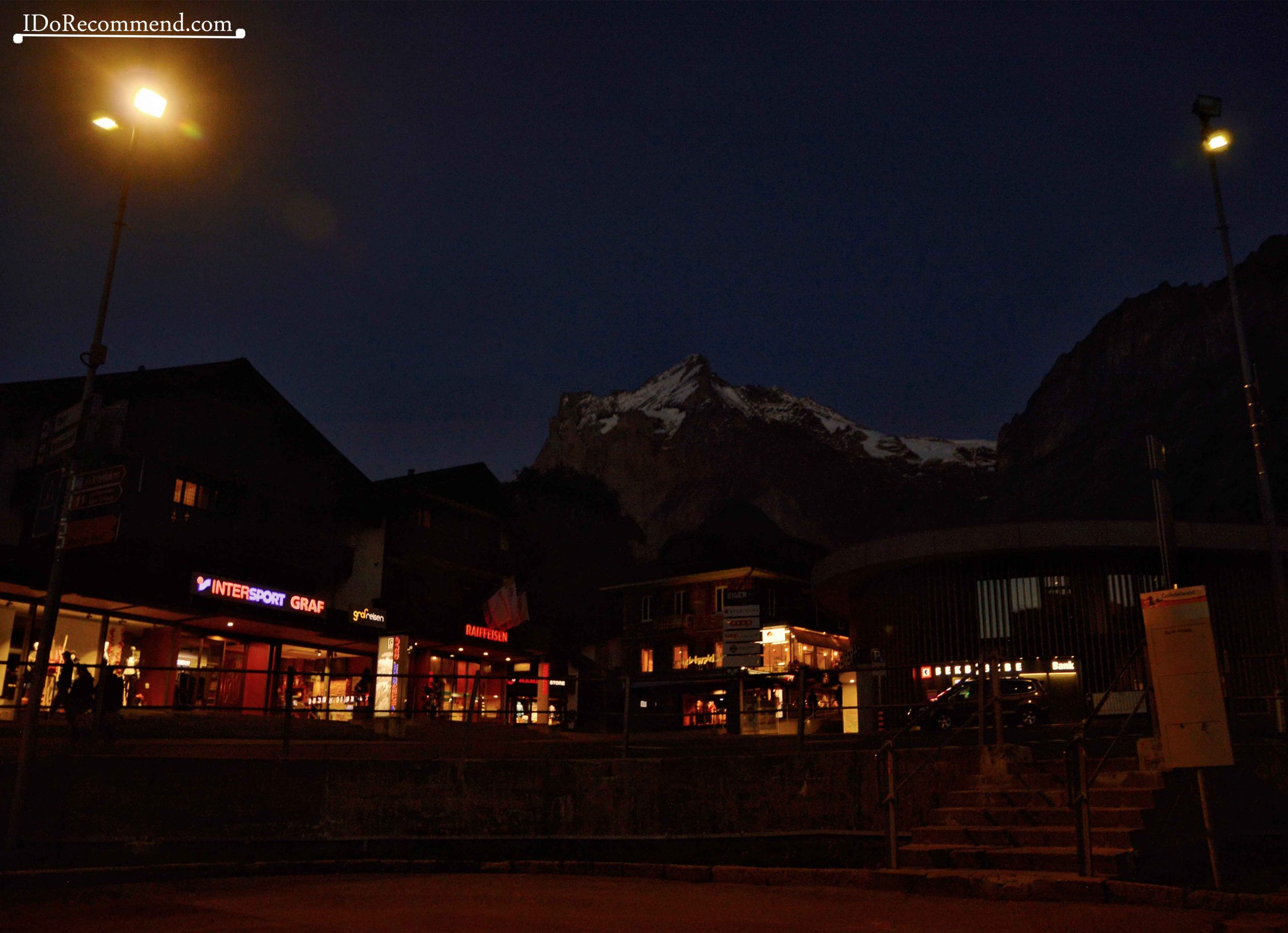
- Grindelwald by night
DAY 2
Lauterbrunnen village (802m/2,631ft) – Stechelberg hamlet (922m/3,024ft) – Gimmelwald hamlet (1,367m/4,484ft) – Mürren tourist resort (1,638m/5,374ft) – Grütschalp railway station (1,487m/4,878ft) – back to Lauterbrunnen village
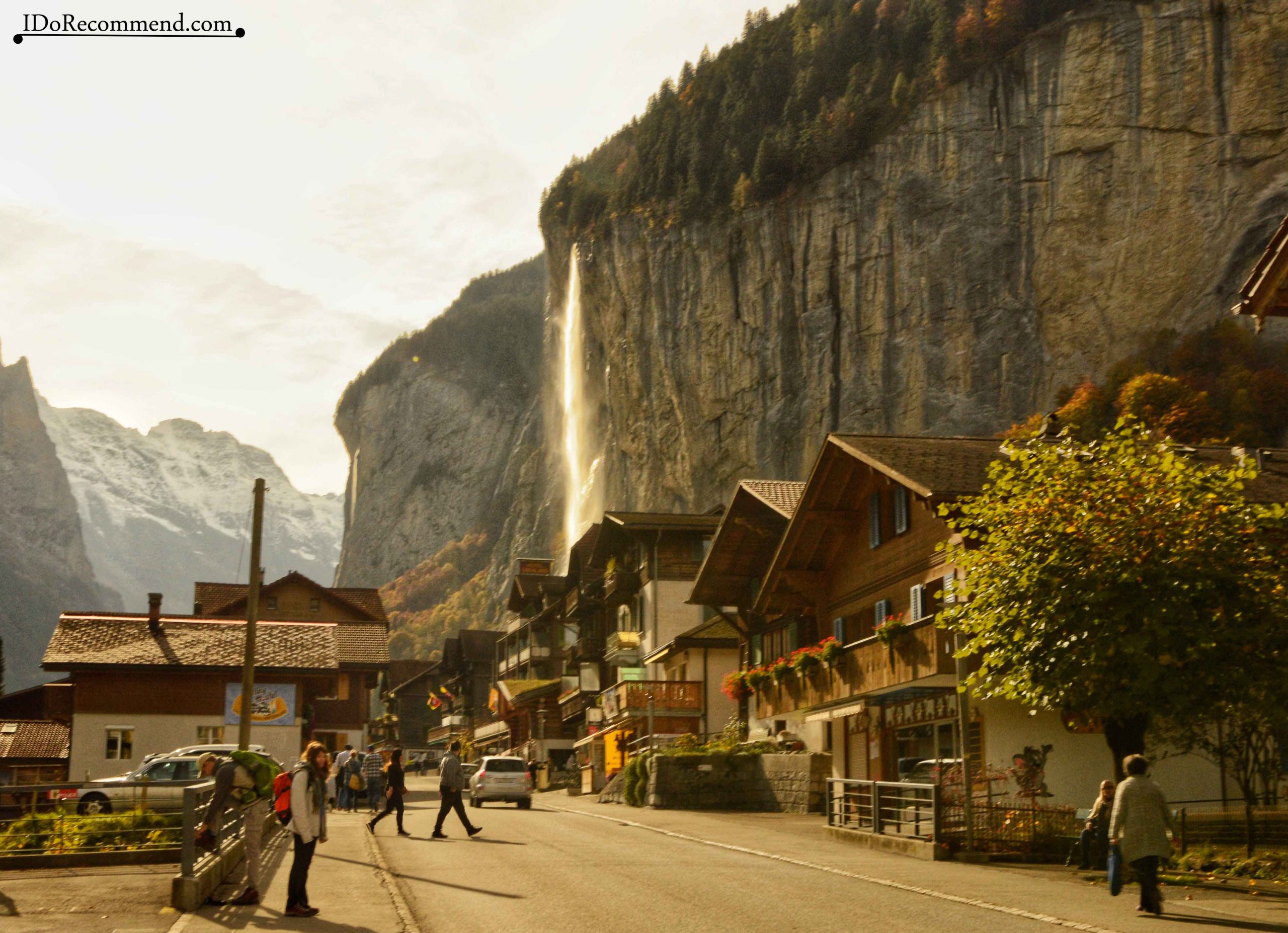
- Lauterbrunnen
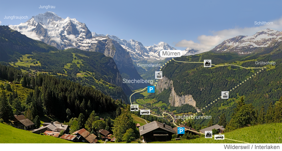
- Lauterbrunnen map
We spent the next day in a quieter, but equally picturesque area, Lauterbrunnen (the Valley of Loud Waters). We parked the car near the train station of the village (17CHF/parking/day ≅ 15€) and started exploring the glacier valley of Lauterbrunnen. The area can also be explored by cable car, funicular or bicycle.
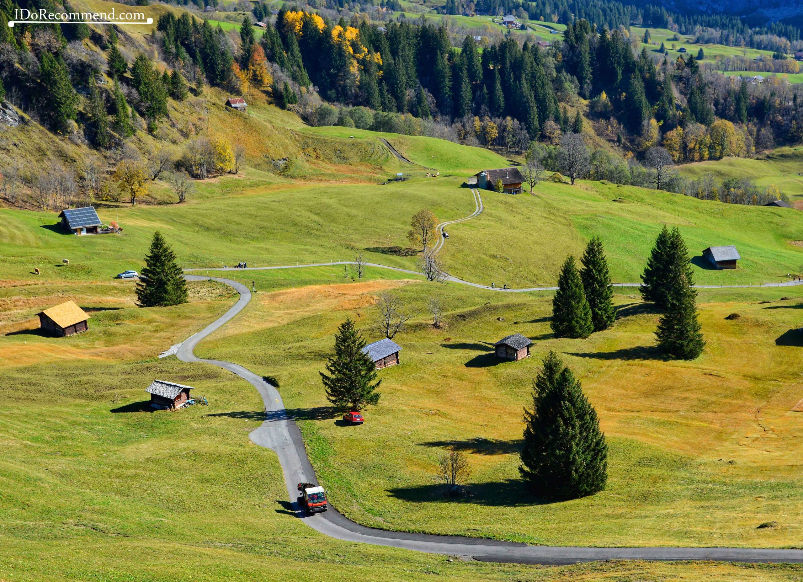
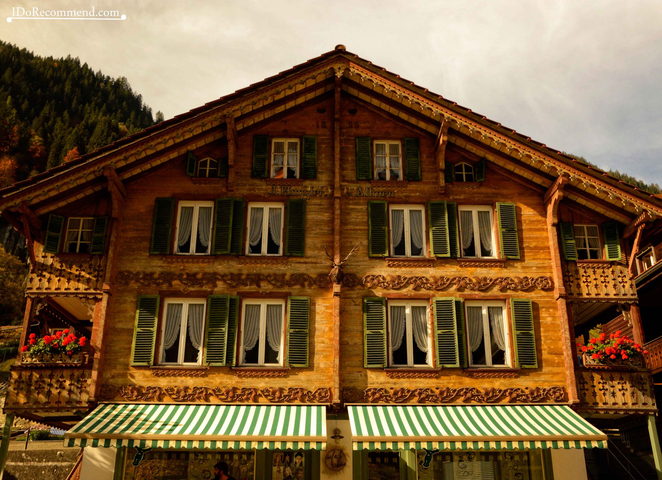
Between Lauterbrunnen and Stechelberg hamlet there are some spectacular waterfalls that descend on the steep vertical walls of the mountain, right next to the alpine chalets. The huts have beautiful wooden-carved façades and flower-decorated terraces. How would it be to live in that place and to see daily the mountain ridges covered in snow, the green pastures, to hear the crystalline sound of waterfalls and the symphony of cow bells and to breath fresh air ?!
- Lauterbrunnen
- Alpine hut in Lauterbrunnen
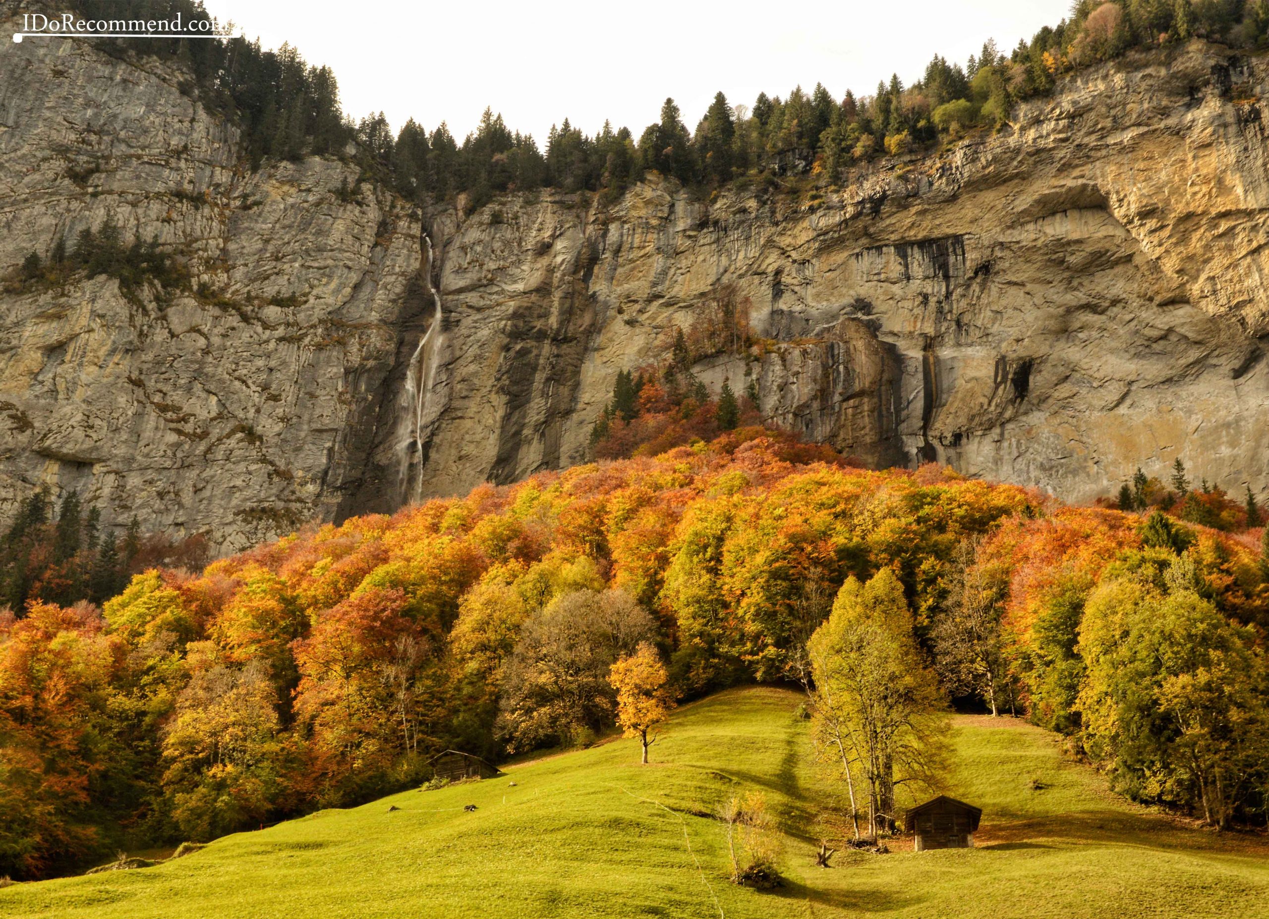
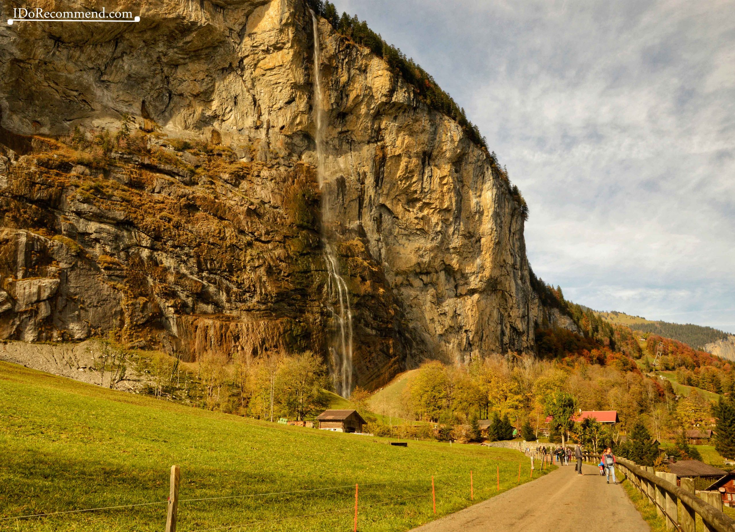
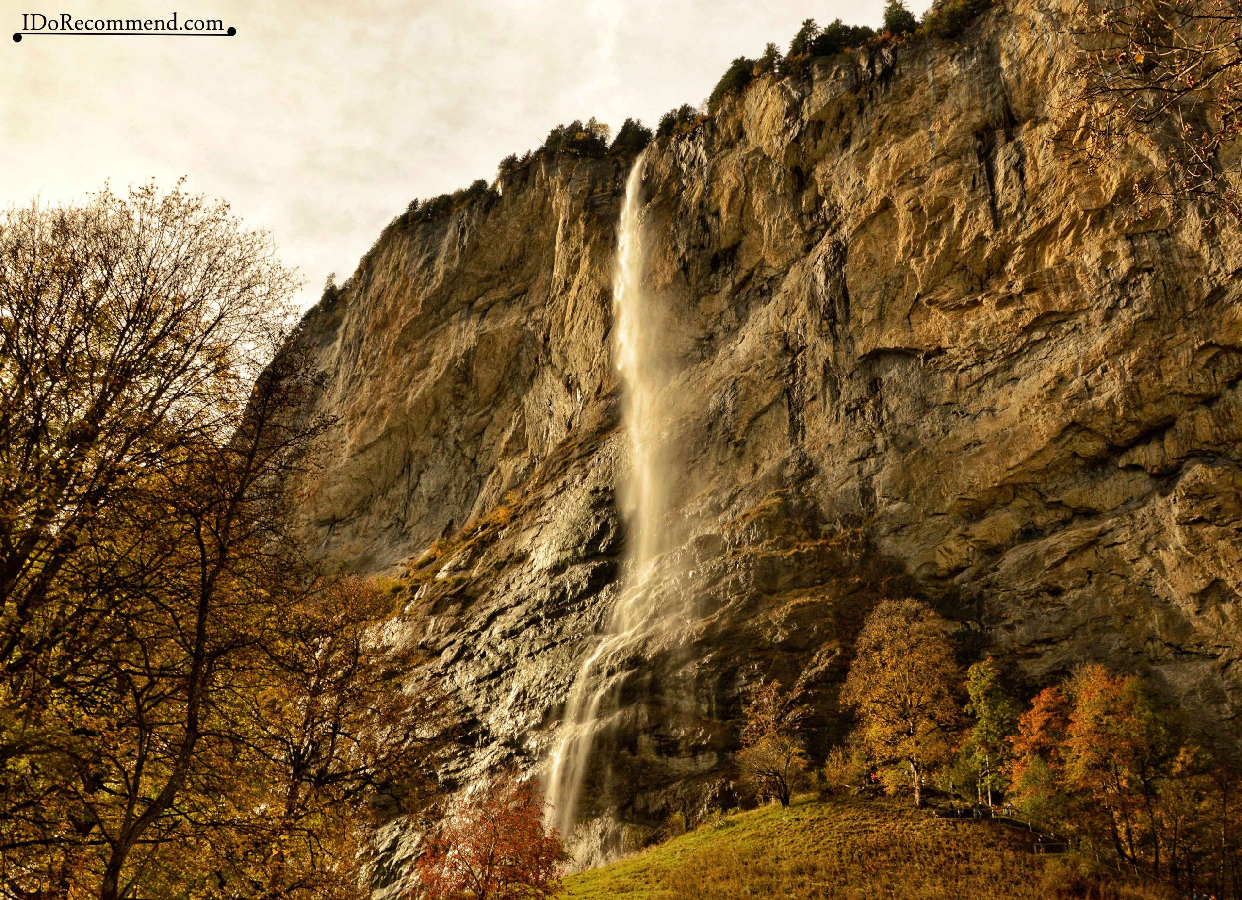
The first waterfall on our way was Staubbach (staub = dust). The river that reaches the edge of the rocks falls from a height of 297m/974ft creating a memorable view. From a distance, the waterfall is not even heard, and from close up its sound is quite discreet. Being so high (it’s the third highest waterfall in Switzerland), the waterfall sprays in all directions, transforming into a white, semi-transparent canvas that covers the rocky walls.
- Staubbach waterfall in Lauterbrunnen
- Staubbach waterfall in Lauterbrunnen
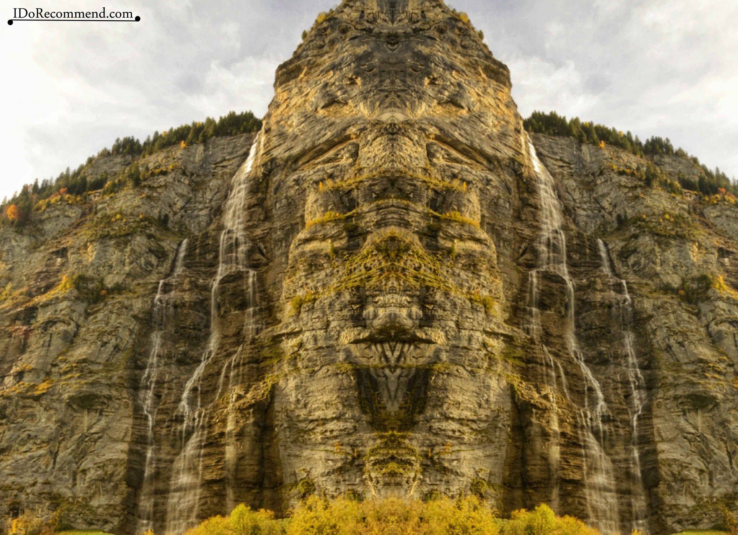
Another waterfalls in the area are Murrenbach, the highest waterfall in Switzerland (417m/1,368ft) and Trümmelbach Falls, the biggest subterranean waterfalls in Europe. The latter, consisting of 10 waterfalls, are a result of the glacier melting. The snow came from the highest peaks in the area, Eiger, Monch and Jungfrau. Unfortunately, we did not know about them at the that time and anyway we wouldn’t have enough time to visit them and to hike to Mürren on the same day. But no problem, we have one more reason to return to that area. We have already found a nice campground, Camping Jungfrau, very close to the train station.
- Murrenbach waterfall (mirrored picture)
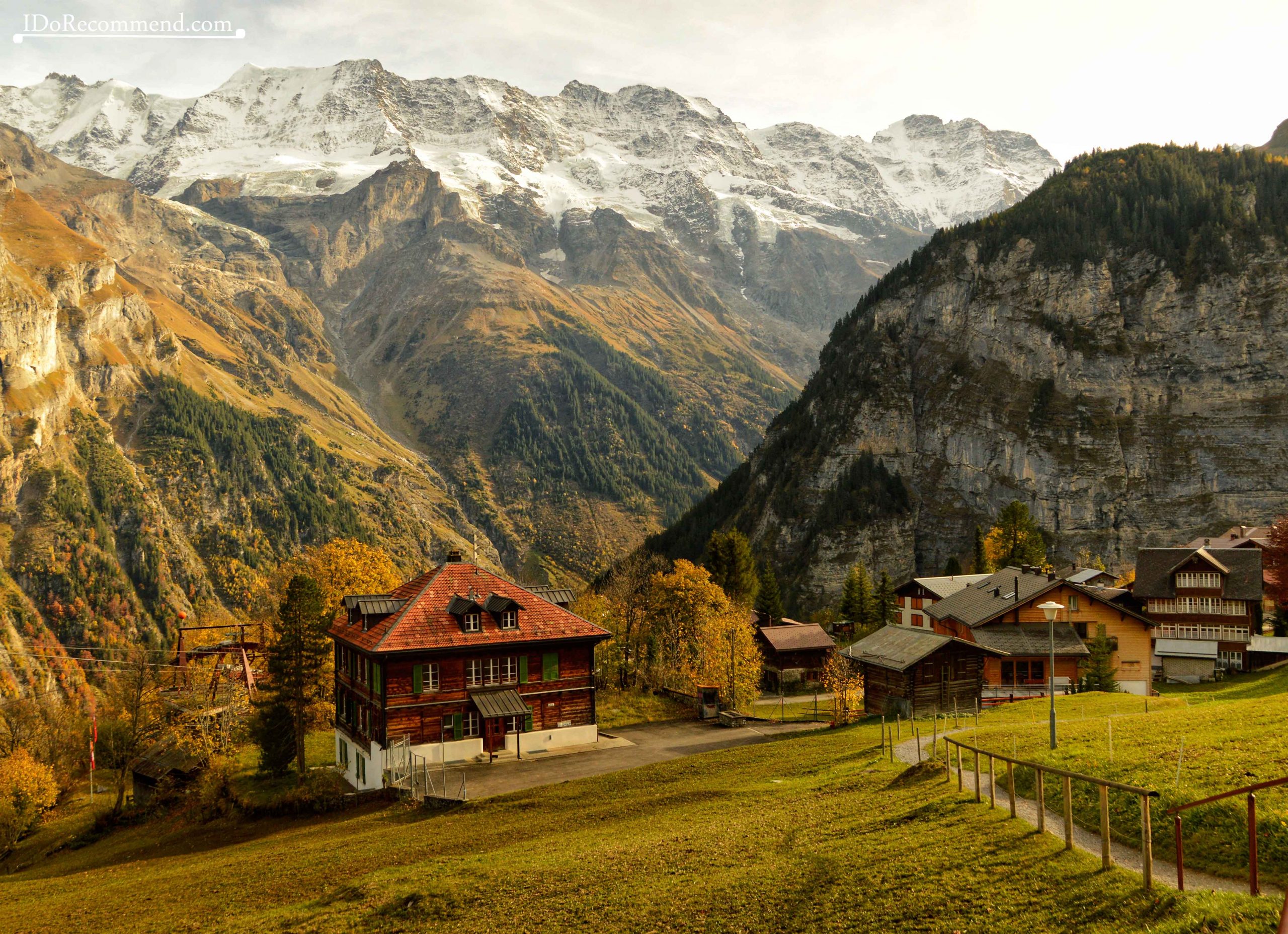
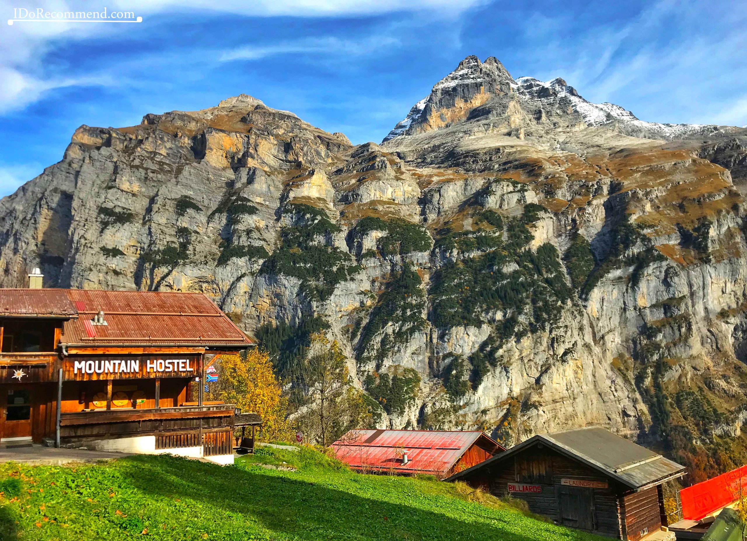
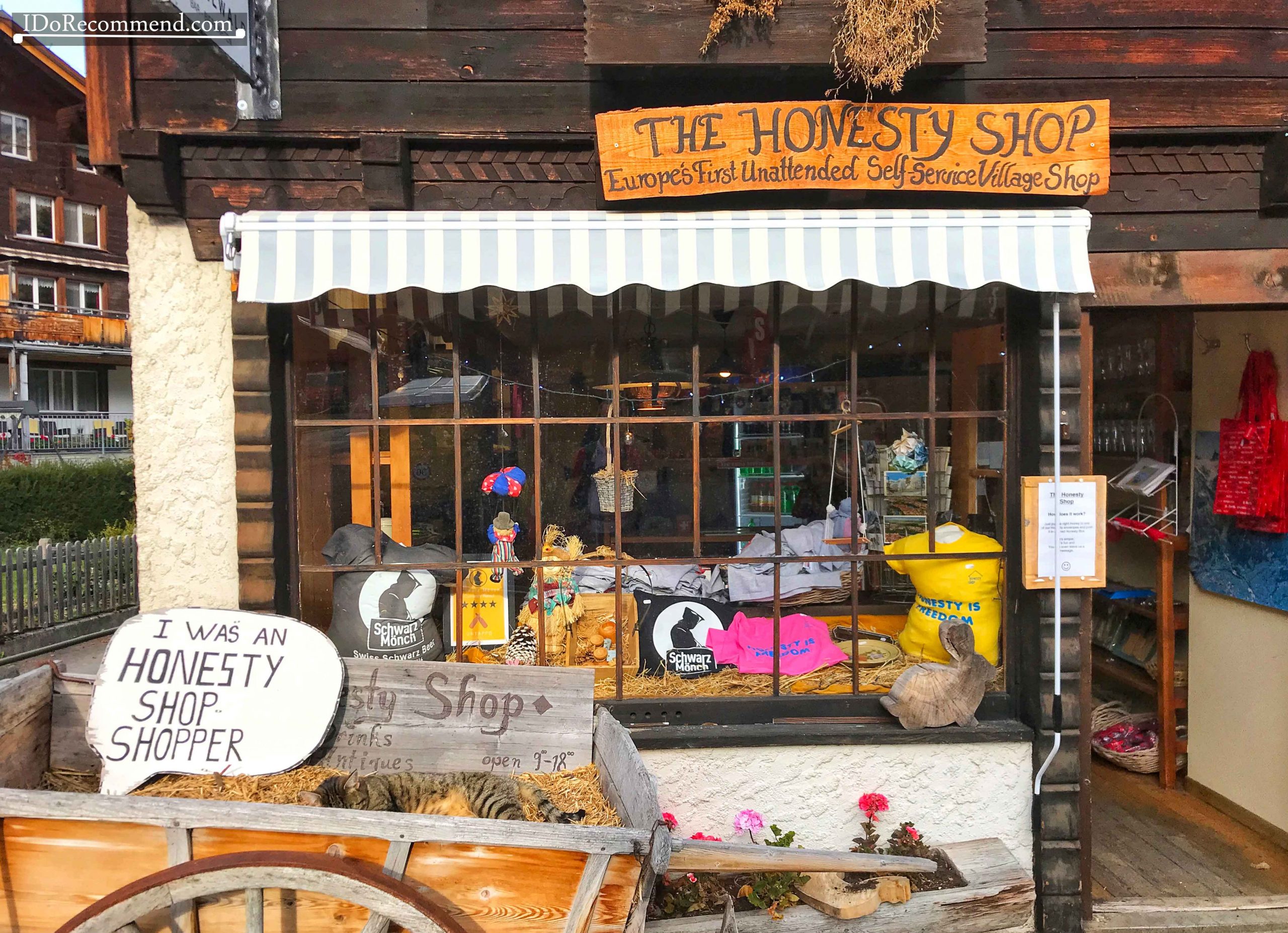
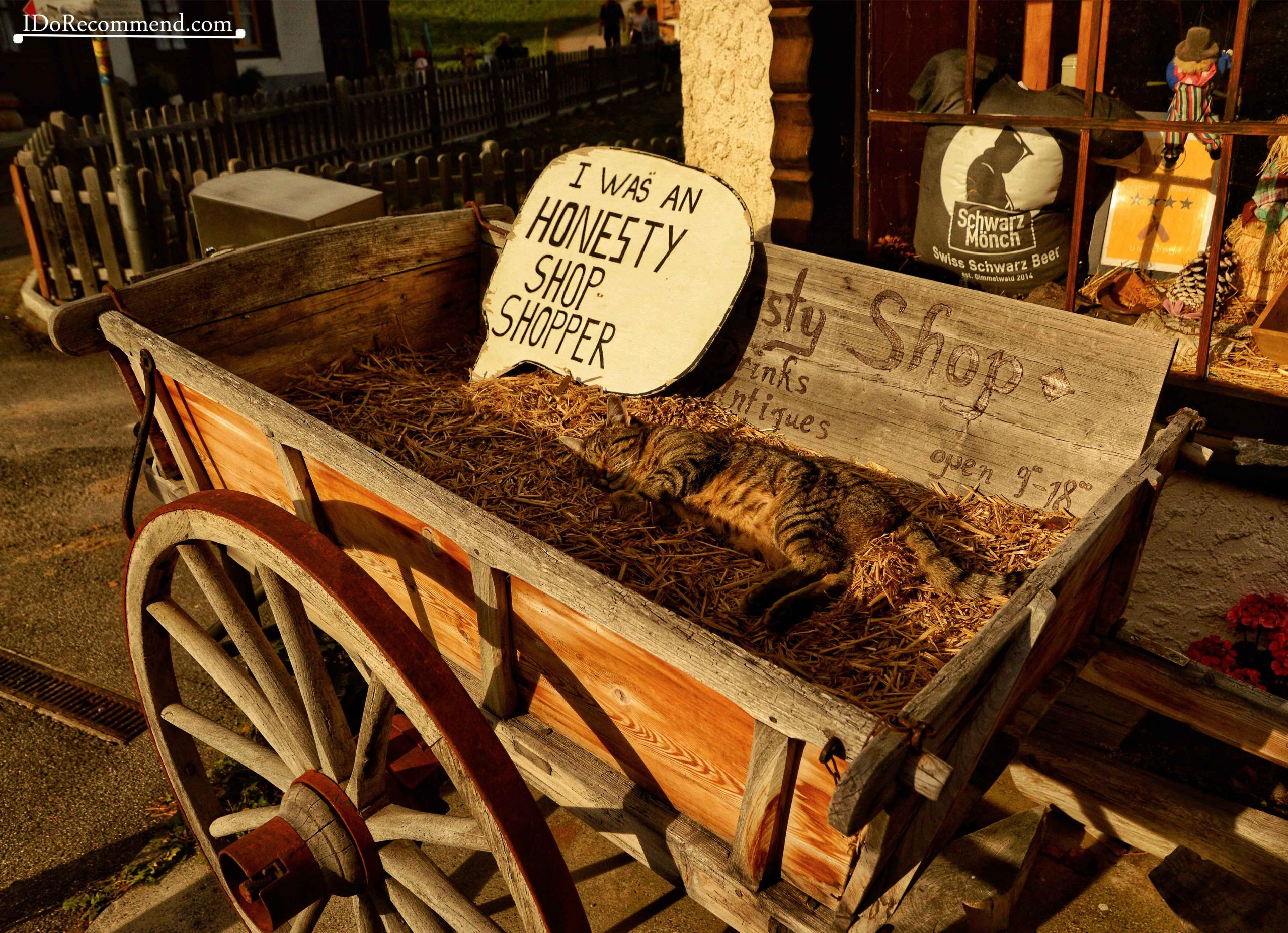
The next stop was Gimmelwald, a car-free hamlet located on the edge of a rock, above the Lauterbrunnen valley. The inhabitants of that village form a united community that refused in the past to let the village be transformed into a tourist resort. There are strict rules regarding new construction in the area. For example, the shutters can only be in the color of wood, green or white. The oldest building in the village, a log cabin, dates from 1658. For those who want to live a rustic experience, without fancy tourist services, Gimmelwald is the perfect choice. In the village you will find the first self-service unattended store in Europe. At the entrance, we only found a guard with fur sleeping. 🙂
- Gimmelwald
- Gimmelwald
- The Honesty Shop in Gimmelwald
- Cat guarding the Honesty Shop in Gimmelwald
Next we arrived in Mürren, a tourist resort located at a higher altitude, 1,638m/5,374ft, frequented in summer by trekkers and in winter by ski enthusiasts.
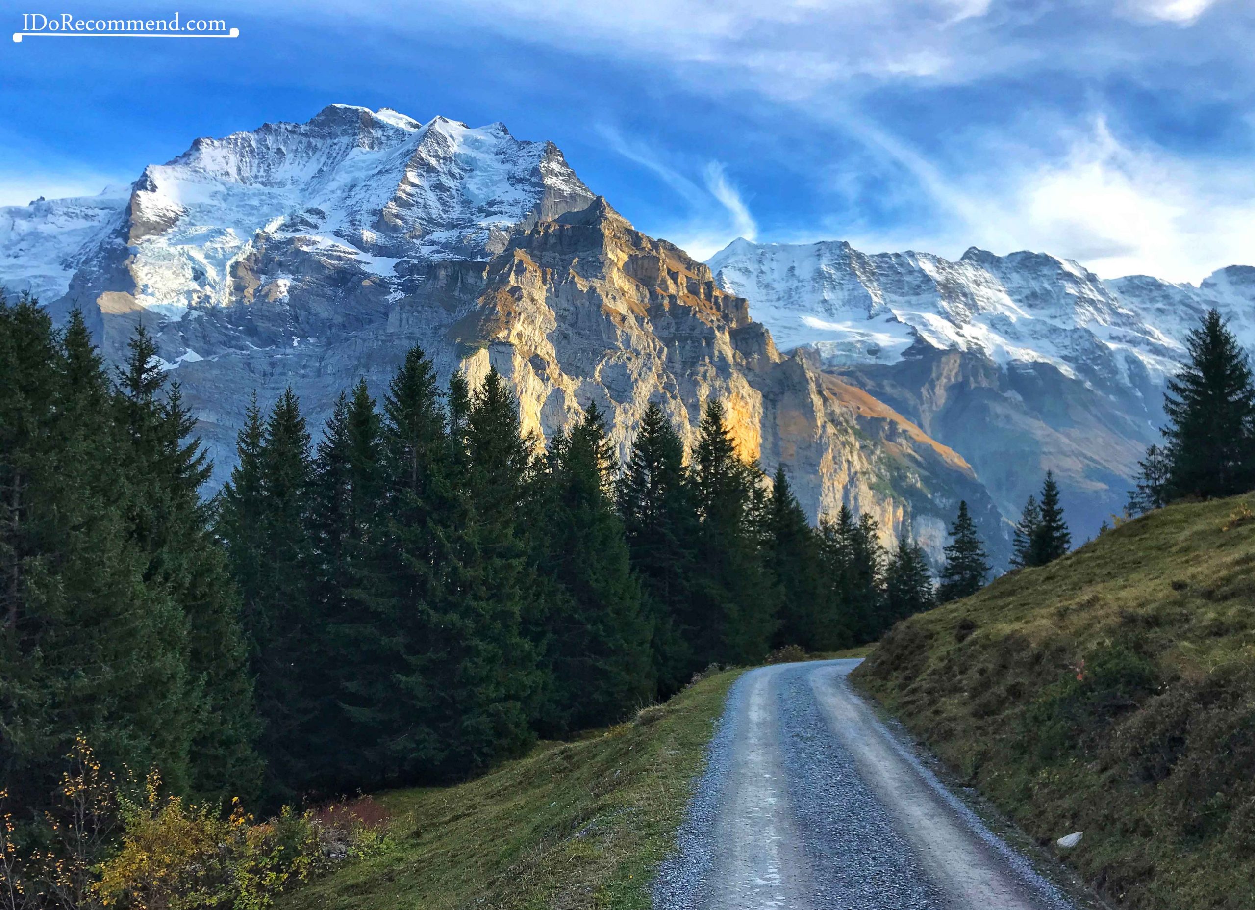
- The road from Mürren to Grütschalp
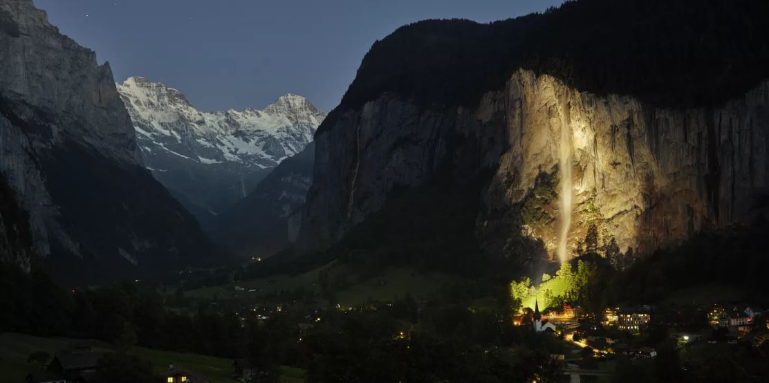
When we got to Grütschalp, where we wanted to take the funicular to return to Lauterbrunnen, we realized the station was closed for maintenance. We got back to the car in the evening and we discovered that the rocky wall on which the Staubbach waterfall was running was illuminated. Beautiful atmosphere to end a really special weekend! 🙂
- Lauterbrunnen by night – source Tripadvisor.com

SWISS MILITARY SECRETS
During the war in the 20th century, anticipating an invasion, the Alps got turned into a huge fortress. Every strategic bridge and tunnel was designed with explosives in case of invasion. Currently, there are over 15,000 buildings with hidden guns. No one is aware of what’s in those innocent-looking hay barns. (Source)
Other tourist attraction in the Lauterbrunnen area
- Jungfraujoch
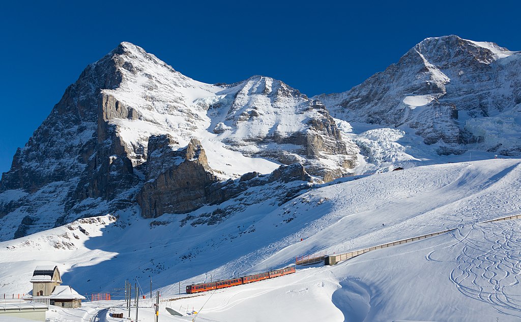
- Train going to Jungfraujoch – picture by Kabelleger / David Gubler (http://www.bahnbilder.ch)
Jungfraujoch (3,466m/11,371ft), also known as the Top of Europe, is a platform located between the peaks of Jungfrau (4,158m/13,642ft) and Mönch (4,107m/13,474ft). The location, like a fairy tale castle surrounded by snow-capped mountains, transposes you into another world, a frozen land in which the peace and silence dominates. You can reach Jungfraujoch by train. This is the highest train station in Europe. The railway has been accessible since 1912. The departure station is at Kleine Scheidegg, and the train travels 9km/5.6miles in 35 minutes, through the Jungfrau tunnel dug in the Eiger and Mönch mountains, and then reaching the final destination, Jungfraujoch. The price is according to the beauty of the landscape, 128CHF ≅ 117€ one-way.
With a Swiss Travel Pass you get a free trip to Wengen or Grindelwald and a 25% discount between any of these villages and Jungfraujoch. There is also no charge for the Sphinx Observatory found at Jungfraujoch.
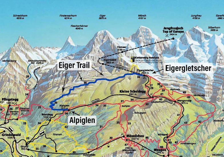
The Eiger Trail is a 6km/3.7miles long hike of moderate difficulty. The route is found between Eigergletscher (Eiger Glacier Station) and Alpiglen.
For all those runners who love the mountain, they can participate to Eiger Ultra Trail.
Eigergletscher-Alpiglen ⇒ downhill walk
Alpiglen-Eigergletscher ⇒ uphill walk
You can reach Eigergletscher by the train leaving from Kleine Scheidegg.
You can get to Kleine Scheidegg by train from Interlaken, Lauterbrunnen (via Wengen) or Grindelwald.
Lauterbrunnen
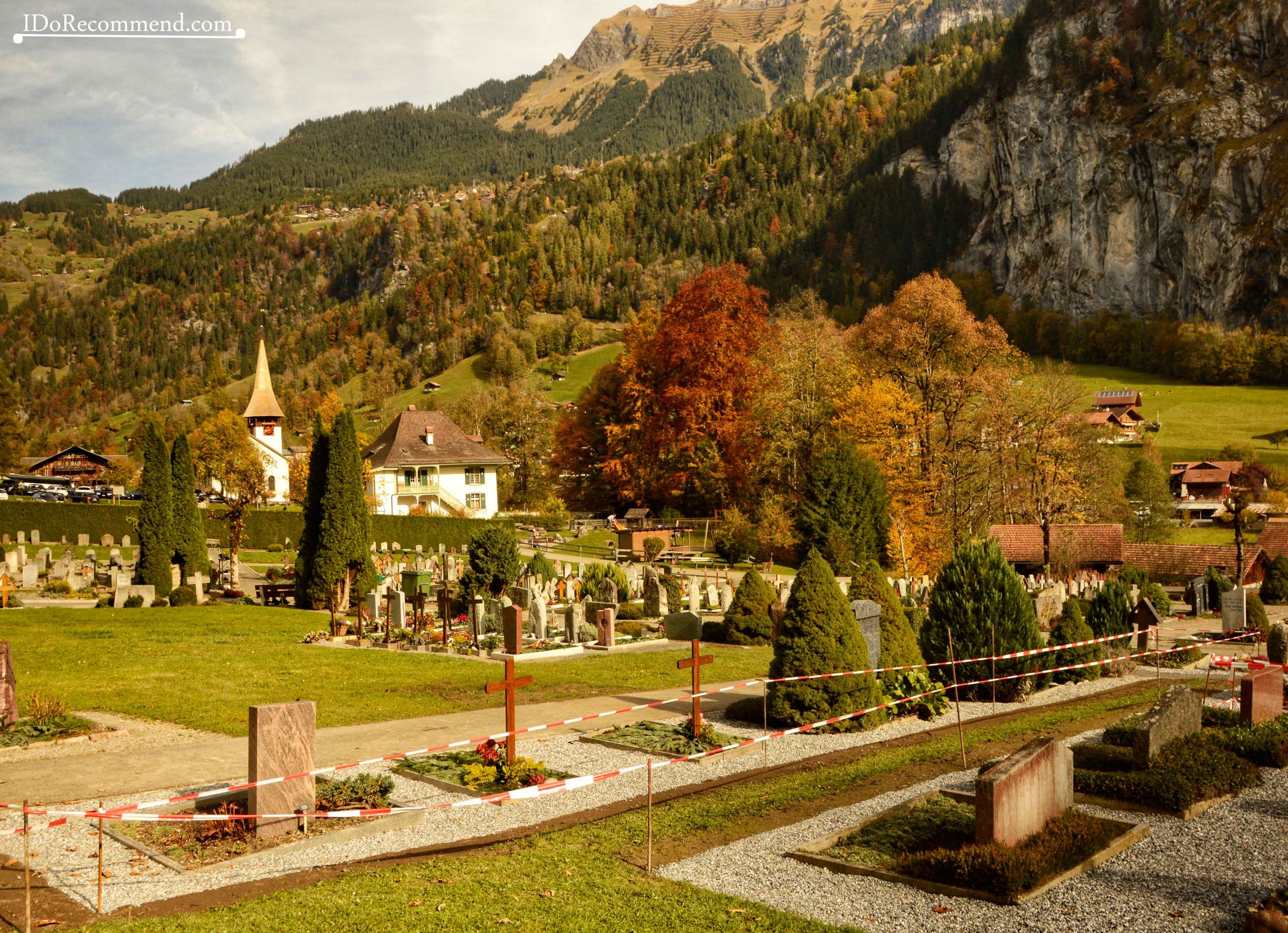
- Cemetery in Lauterbrunnen
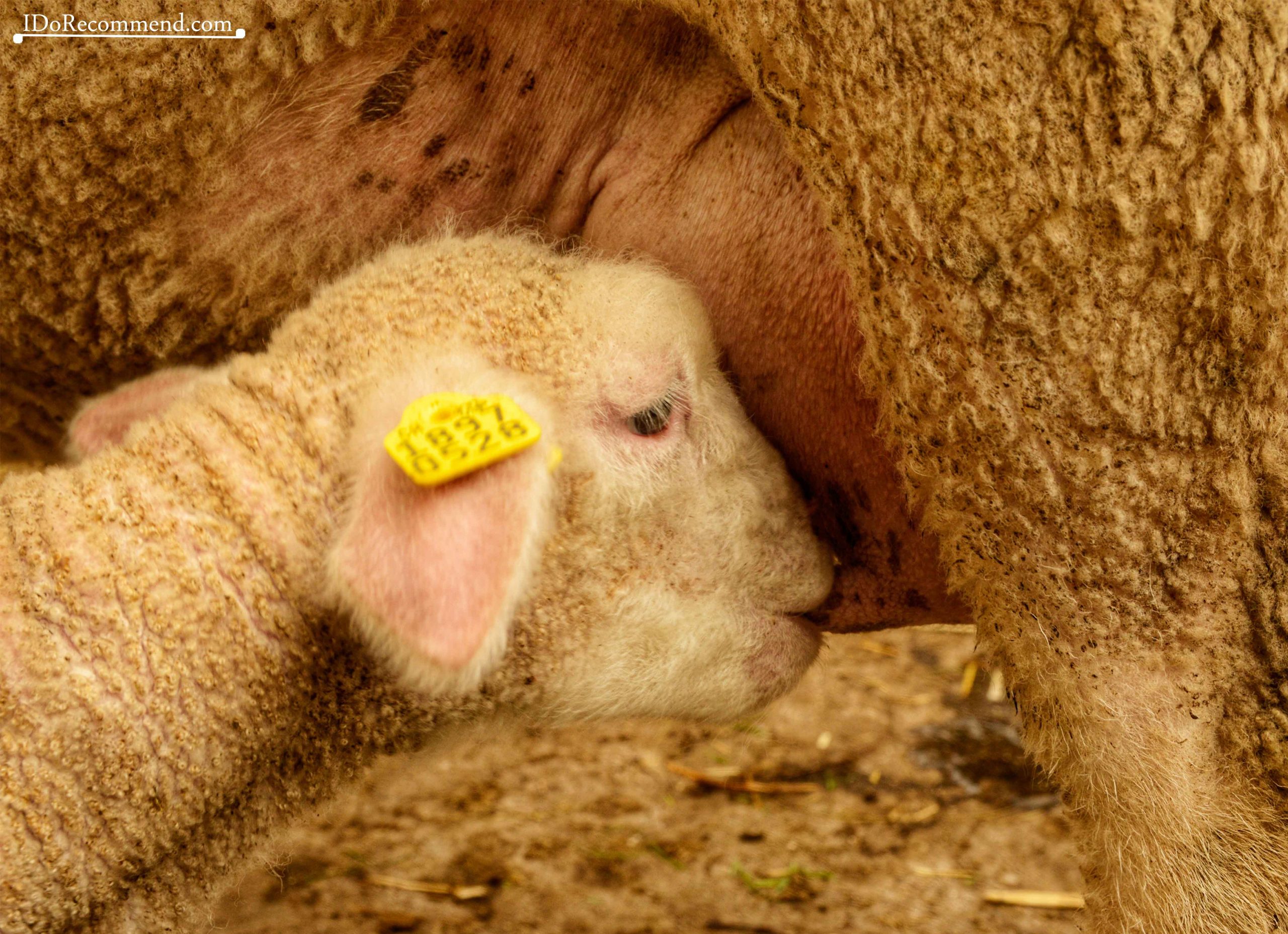
- Mother sheep feeding her baby lamb
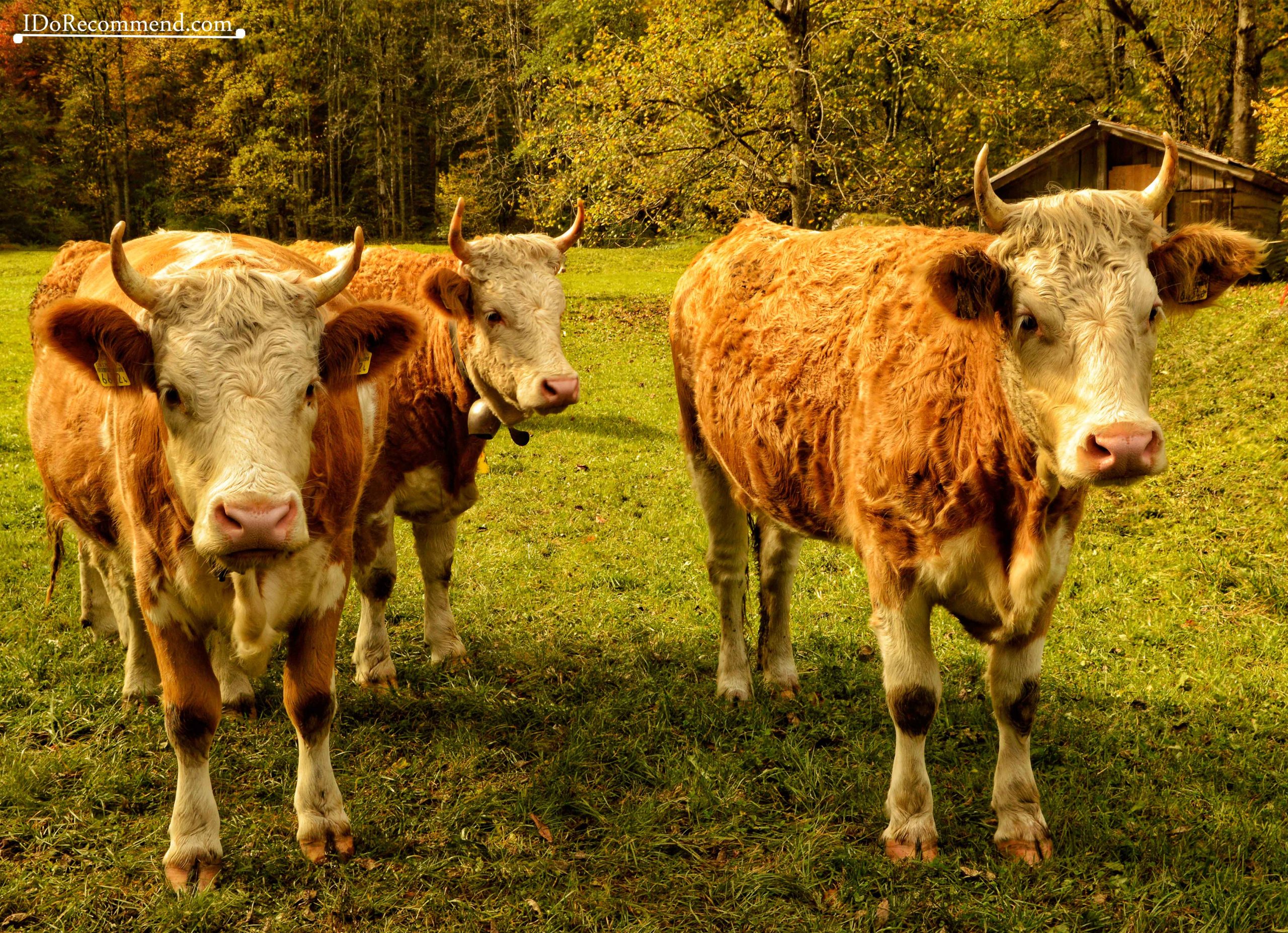
- Alpine cows
- View from Mürren
Thanks for reading this article! Keep on following the #IDRTravel posts to discover the spectacular Switzerland and many other beautiful places on Earth.
Until next time, leave your worries behind and keep on exploring the world!
Bianca


